
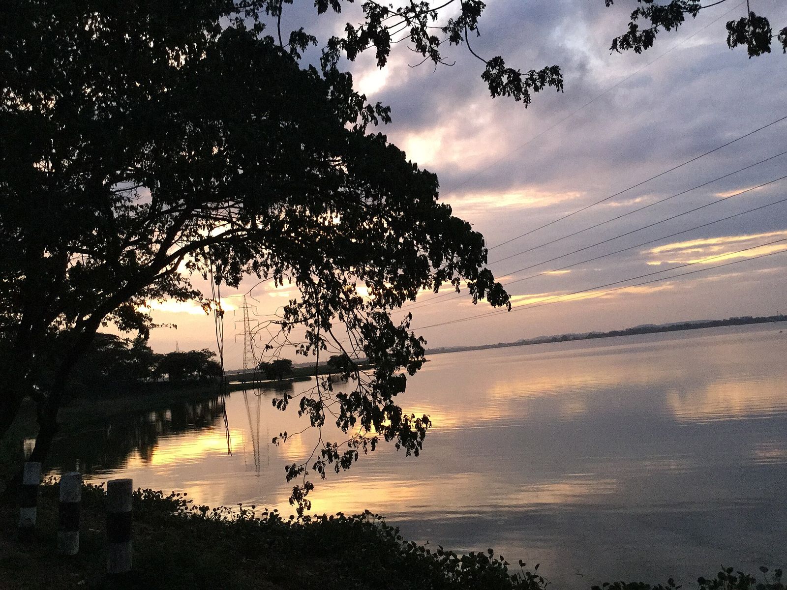
The Brahmaputra, mile by mile
A river that crosses a plateau, a mountain range and a valley before it meets the sea. How to travel on it, beside it and with the people who depend on it.
Few rivers ask to be understood in stages the way the Brahmaputra does. It rises on the Tibetan plateau, where it is the Yarlung Tsangpo, turns south through Arunachal Pradesh as the Siang, and is joined by other rivers as it enters Assam. From there it crosses the whole length of the Assam valley before it moves on into Bangladesh and, eventually, the Bay of Bengal. The Assam government's tourism pages put its length at roughly 1,800 miles, about 2,900 km, and describe it as one of the great rivers of the world.
In Assam, the river is less a feature of the landscape than the thing the landscape is arranged around. It shapes where villages stand, how land is farmed and how people cross from one bank to the other. That is why a journey on the Brahmaputra tells you more about the state than most road trips can.
There are three sensible ways to do it. The first is a cruise. According to the Assam government's river-cruise page, operators run short tours around Guwahati as well as longer trips towards Kaziranga and beyond. The itineraries it lists include village walks, tea-estate visits, craft workshops and wildlife drives. A reply to a question in India's Parliament records that river cruises are a regular feature of National Waterway 2, the Brahmaputra, with tourists travelling between Kaziranga and Dhubri. Assam Bengal Navigation, formed in 2002, describes itself as the first operator on the river. Itineraries, prices and sailing dates change from season to season, so ask operators for written schedules.
The second way is to travel as many Assamese do, by public ferry. Where bridges are far apart, ferries still carry passengers, bicycles, goods and livestock between the banks. A short ride from a Guwahati ghat to the temple island of Umananda is an easy first taste. Longer crossings, such as the one to Majuli from Jorhat district, are covered in other pages of this magazine and are best done on the operator's published timetable, with room for delays.
The third way is to stay on land and keep returning to the water. Base yourself in Guwahati for the ghats and the river promenade, then travel upstream to Sivasagar for the old Ahom capital, or to Kaziranga for the grassland that the river's floods renew. The river is also home to the Gangetic river dolphin, Assam's state aquatic animal. Sightings are never guaranteed, and a respectful boat keeps its distance and its engine slow.
Timing matters. River travel is easiest in the drier months and much harder in the monsoon floods, which begin around June. April is one of the last comfortable weeks for the water before the heat builds and the rains return, and it coincides with Rongali Bihu, the Assamese new year, which is covered in the Northeast section of this issue. Check weather and water levels with your operator, and keep a spare day.
A note on how to go well. The river supports communities whose lives are shaped by it. Reporting by Dialogue Earth describes the Mising people of Majuli among the communities whose livelihoods depend entirely on the water. Travel with operators who employ local boatmen, eat at local tables, and take your waste home. Ask before photographing people in their daily work, particularly on a ferry ghat.
If this feature leaves you with one idea, let it be this: the Brahmaputra is a working river first and a scenic one second. The better you understand its work, the more you will see.
Prices, dates, permits and rules change — approximate, verify before you travel. Researched from public sources; field verification pending.
Planning a journey like this?
Tell us the season and your pace — we'll shape it into a private itinerary.
Talk to a travel designer